MANITOBA’S LEADING MUNICIPAL DRAINAGE SURVEY SERVICE PROVIDER
RM DITCH AND CULVERT SURVEYS
We’ve been providing municipal ditch and culvert survey and plotting services to Manitoba municipalities since 2011. We can also help with permits and other logistics. Our work is highly respected and meets all standards specified by Manitoba Water Stewardship

Contact Us Today for a No Obligation Consultation

Background Information
Our Services
Most municipal drainage projects in Manitoba require a survey in order to be licensed by Manitoba Water Stewardship. Our proprietary process of surveying and data plotting sets us apart in the industry
Municipal Ditch & Culvert Surveys
Includes ditch bottom, culvert inverts, prairie edge, and road tops
Guaranteed to Meet Government Requirements
Our profiles are the gold standard that others are compared to
Unmatched Service and Support
We make the process as simple as possible for the municipality
Surveying
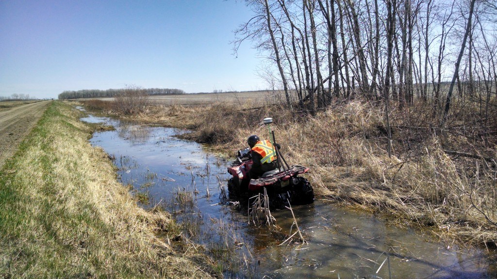
Our survey process involves driving all ditch bottoms, prairies (field edges), and road tops to collect an elevation point approximately every 15 metres. In addition, we record the elevations and sizes of all culverts (and additional information such as the culvert’s condition in the event it is damaged, blocked, etc).
Equipment
We use Hemisphere GNSS survey-grade GNSS receivers combined with customized survey data logging software to collect survey data. To obtain absolute horizontal and vertical accuracy that ties in to true geodetic position we use the survey reference networks provided by Can-Net and Lewis Instruments.
Processing & Plotting
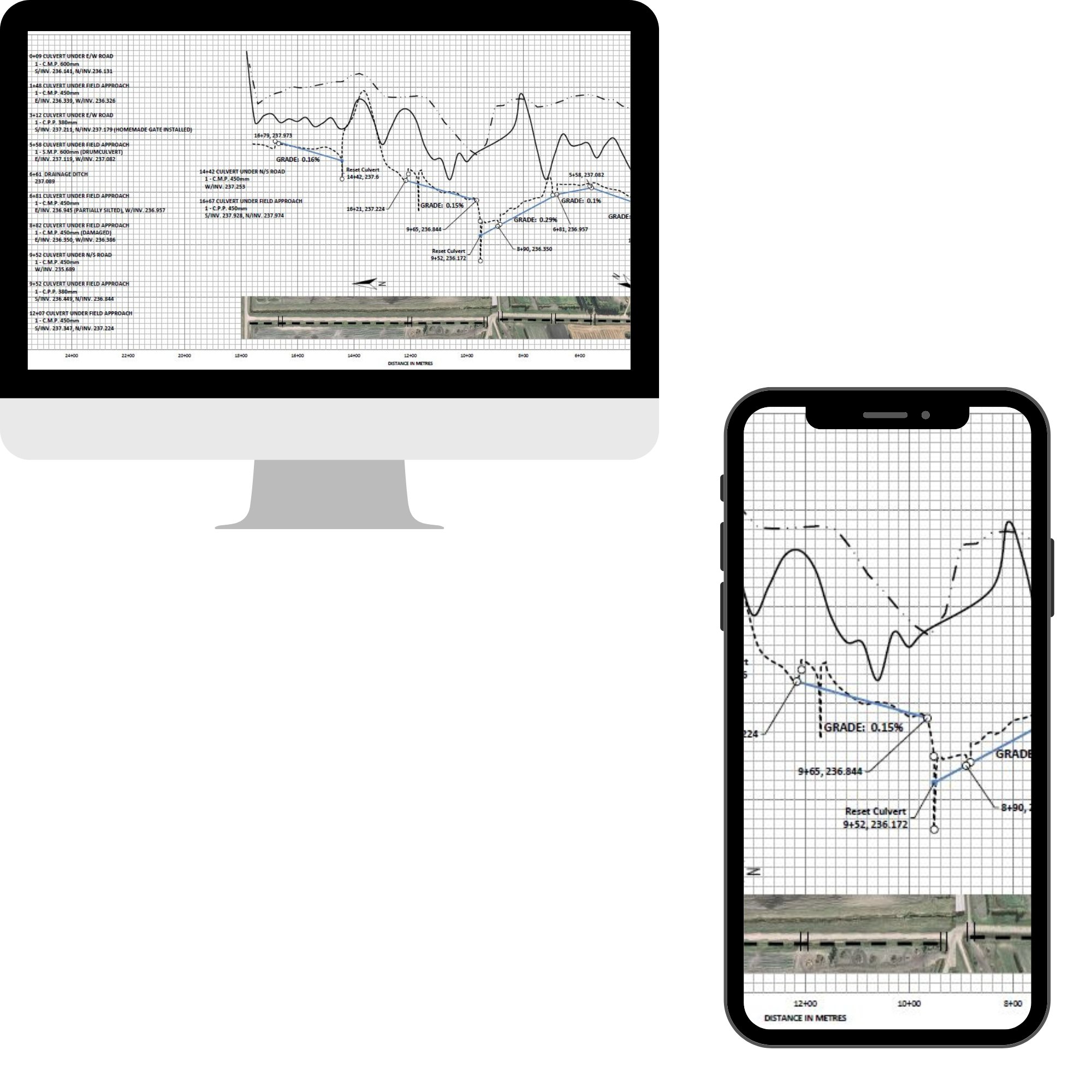
We use a proprietary workflow developed based on 10+ years of experience in completing this type of work. Survey data are quality checked, calibrated, and plotted by our experienced technicians. We create survey profiles complete with detailed information on culvert sizes and elevations.
Contact Us Today for a No Obligation Consultation

Digital Survey Profiles
Access & Share Any Time, Anywhere, with Anyone
Survey profiles and project specifications are provided digitally
Easy to Store and Backup
No more rolls of paper profiles to store!
Easy to Share
Send or share files easily with stakeholders and contractors
Easy to Access on Any Device
Our simple PDF profiles can be opened on any device, anywhere
About Our Process
Our RM Ditch Survey Process was developed and is administered by company owners Simon Knutson and Joel Classen. Simon holds a Master’s Degree in Geographic Information Systems (GIS), and both Joel and Simon have completed the surveying course delivered by Manitoba Water Stewardship which teaches the required procedures and plotting techniques (which we have modernized and adapted to make this service something we can provide at a competitive price and be able to achieve significantly greater productivity and turnaround times).
Experience Counts
Between our team, we have over 20 years of combined experience providing RTK GPS surveys and processing survey data. Data processing and creation of profiles is performed by our in-house Data Specialists who have considerable knowledge and experience when it comes to working with survey data and ensuring it is correctly processed. Our team works closely with permitting officers to ensure our work meets and exceeds their requirements. If and when requirements change we will continue to ensure our surveys meet all requirements.
Your Problems Solved
Many of the municipalities we work with have attempted to complete this type of work in-house prior to working with us. Most tell us this was not successful due to the logistical challenges and lack of available personnel. Our Municipal Account Manager, Kody Webber, does an amazing job of making the process as simple as possible for the municipality while ensuring we maintain the high standards required of this type of consulting work. Spend more time focused on the actual earthworks, and less time on surveying and paperwork!
Contact Us Today for a No Obligation Consultation
NORTHERN PLAINS ONLINE SURVEY & DATA PORTAL
The Easiest Way to Access Survey Profiles
Many of our municipal clients opt to have us build a custom online map portal from which they can locate and download their survey profiles. We can also build more complex portals to enable viewing and download of additional provincial and municipal data, such as LiDAR elevation data.
